Having moved over my GIS project over to ArcGIS over the weekend, I though I’d share my progress. While I’m still trying to adapt to differences between QGIS and the Arc family, I can definitely see the advantages in using these programs.
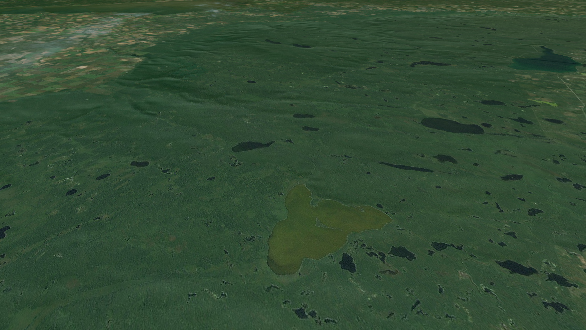
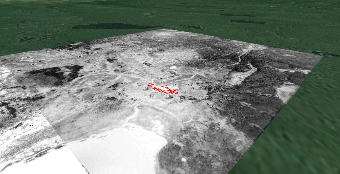
Arguably the most significant advantage of ArcGIS is its tools for spatial analysis but unfortunately it is a PC-only program. However, this means I get to take advantage of Western’s awesome digital history lab! ArcGlobe allows for 3D visualization, which means I can incorporate elevation data and 3D models into my project. The feature I’m most interested in at the moment is the ability to create “flyovers” that, as the name suggests, allows users to virtually fly over the landscape. If all goes to plan, I should have a video to post here in the next week to demonstrate this. For now, here’s some screenshots of what my project looks like at the moment.
ArcGlobe provides the ability to record animations (flyovers) and while I was able to get some initial video without any problems, I have yet to be able to save any new videos without ArcGlobe freezing and ultimately crashing. Hopefully I can find a workaround for this in the next few days…
